As Serbia heads to the polls, independent media faces the fiercest pressure in decades
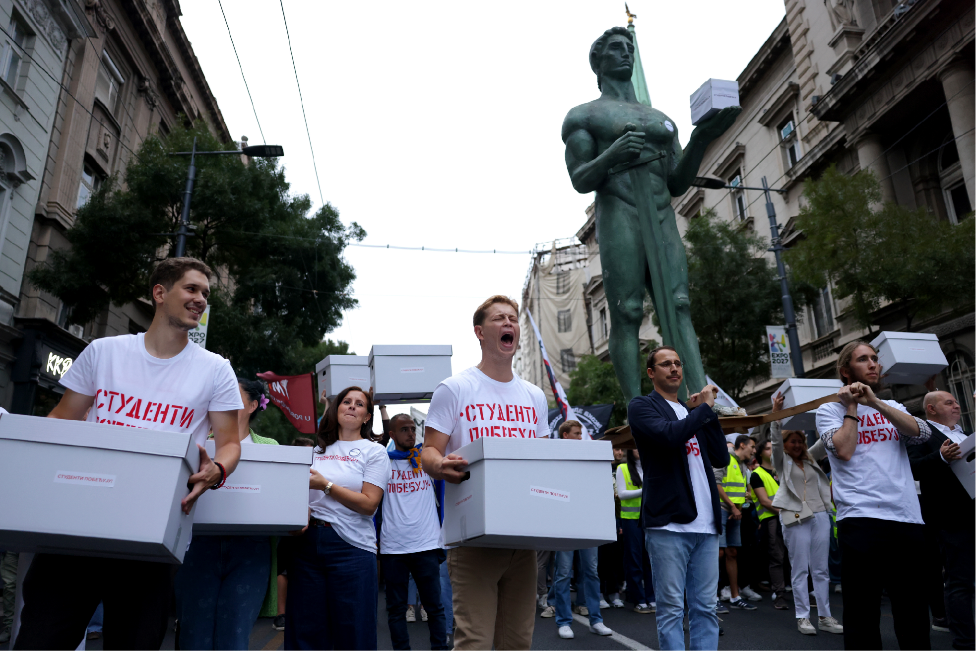
Journalists and media representatives describe how spurious litigation, online threats and physical attacks have escalated in recent years.
The diplomat, the chameleon, the bloodhound: Understanding newsroom personalities

How do you run a newsroom full of people whose job is to question authority?
Fixing immigration coverage: Why newsrooms often fail and how they can do better

Immigration is everywhere in the news, yet audiences remain dissatisfied. Better coverage demands context, specialist knowledge, facts and migrant voices.
When the images stay with you

Gavin Rees explains how visceral images can hijack the body and mind in ways that are hard to track.
UNCOVERED 2026: When the investigation doesn’t stop

Once again this year, the UNCOVERED journalism conference highlighted the importance of cross-border journalistic collaboration in the face of persistent threats to press freedom, while honoring standout investigations through its Impact Awards.
The power of “positive deviant” data investigations

How good outliers can expose systemic misconduct or policy failure
Journalism in Mexico: Anatomy of a silence

Amid another increase in the murders of Mexican journalists in the summer of 2026, reporters across Mexico speak to iMEdD about navigating pressure from drug cartels and public officials, persistent impunity and, in some parts of the country, “zones of silence.”
I slowed down – and my journalism changed

Slowing down journalism means creating space to listen, reflect and report with greater care, context and resilience.
Accessibility isn’t optional

For many people, avoiding the news is a choice. For millions of people with disabilities, it can be the result of something else: a news industry that was not designed with accessibility in mind.
The cockroaches’ reckoning: How Gen Z protests exposed India’s ‘lapdog media’ and ushered in a new wave of reporters


ALSO VISIT