Greece Rapid Testing Map
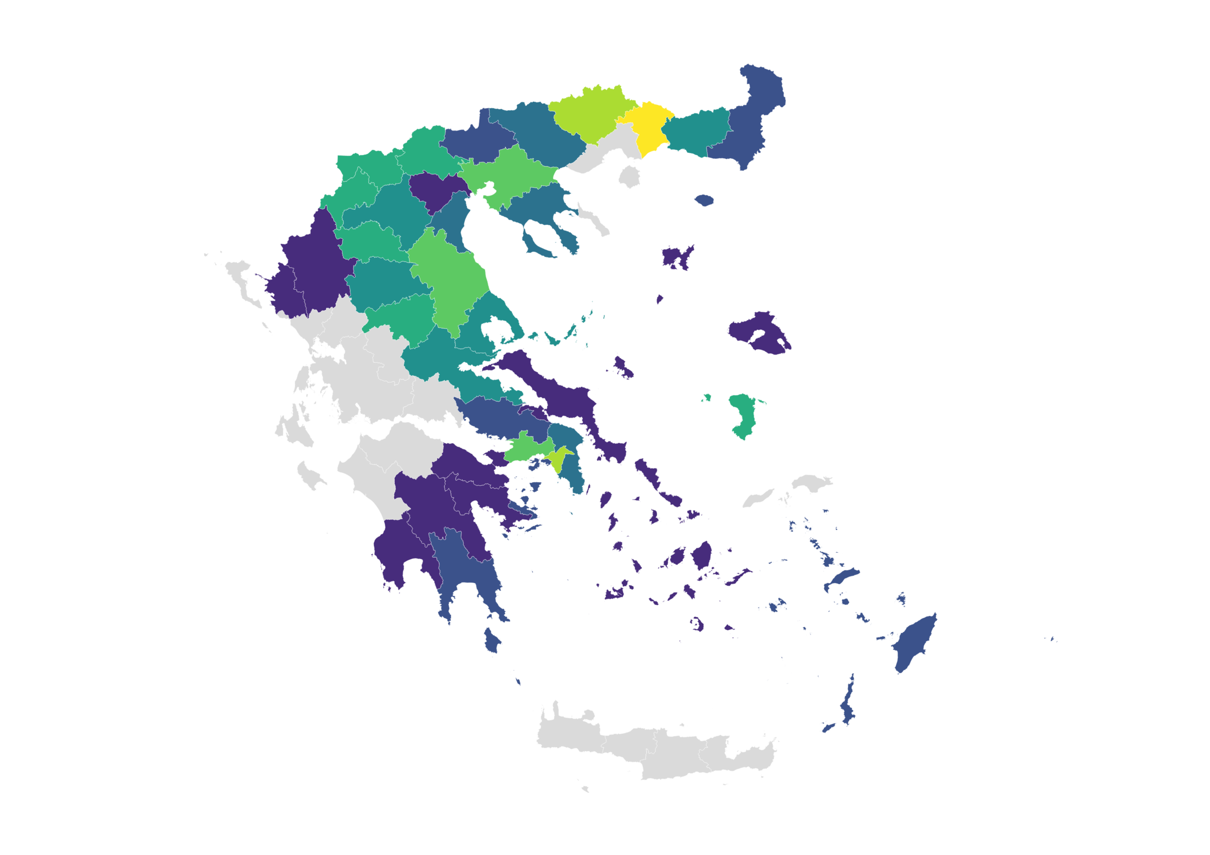
A total of 2.433 positive samples were detected, with Xanthi (November 19) having the highest positivity rate.
A dataset with rapid tests carried out in Greece

Data for more than 114,500 samples taken since September 25 in 213 regions of the country.
The geographical distribution of COVID-19 deaths
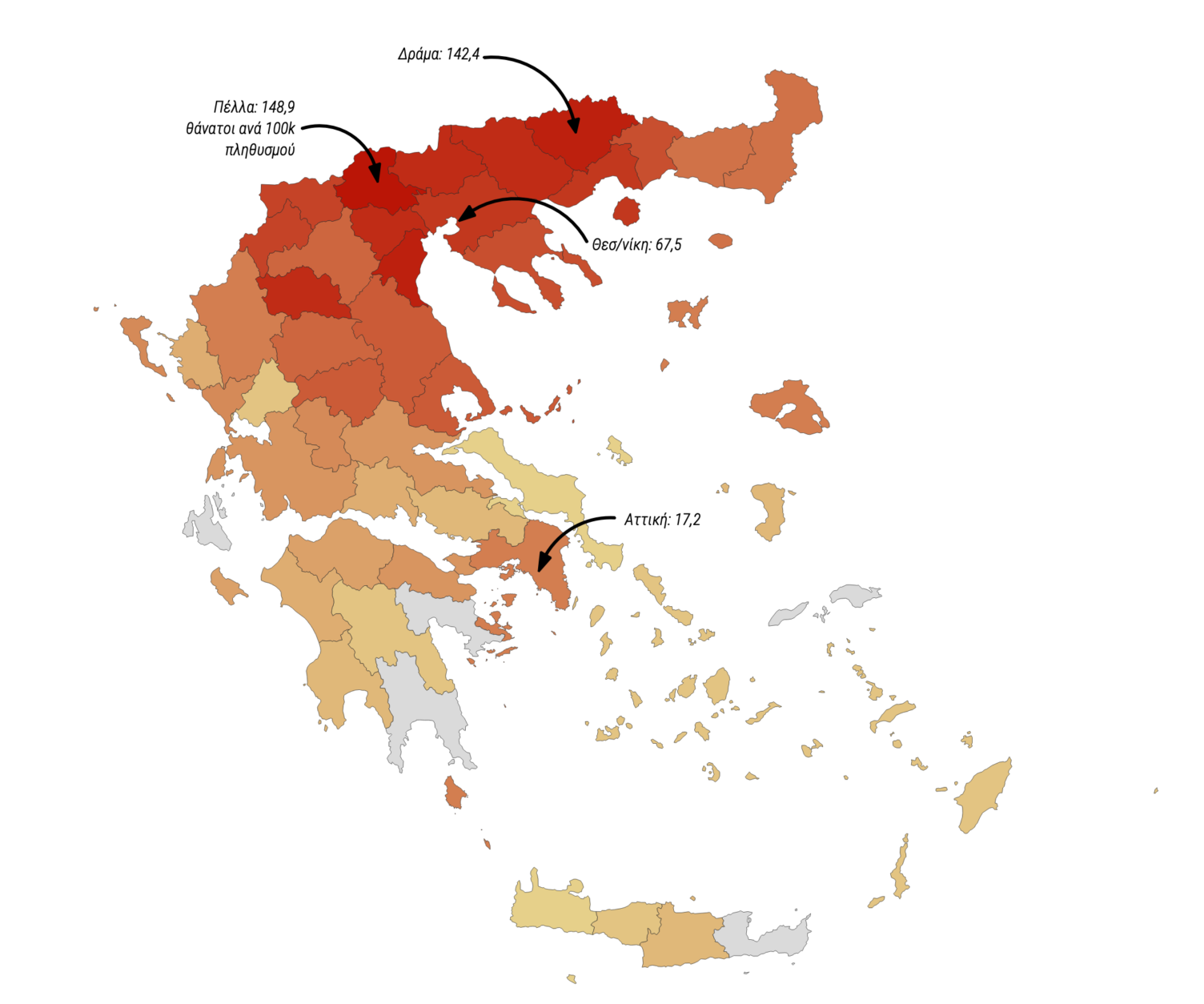
We publish data on the geographical distribution of 3,214 deaths per regional unit.
How the application monitoring the spread of the disease was created
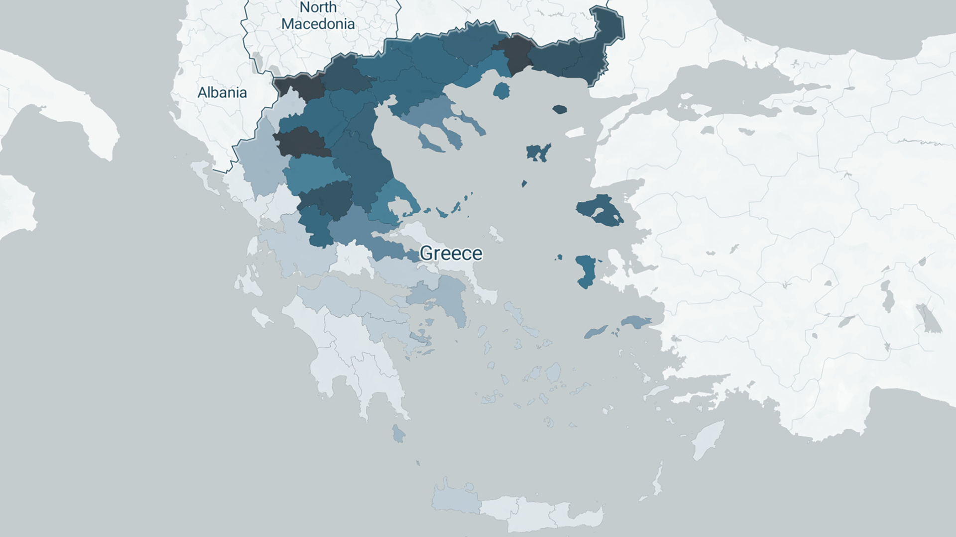
Work stages, sources/processing of data, tools and limitations regarding the development of iMEdD Lab’s web application tracking the pandemic in Greece and around the world.
The spread of the disease in Greece and worldwide
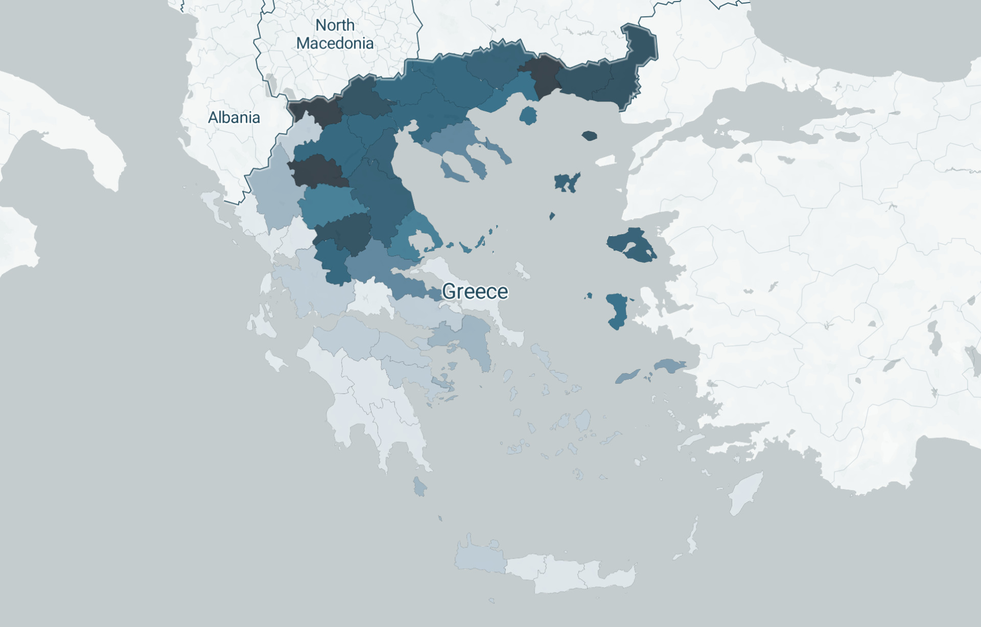
Constantly updated maps and charts showing the spread of the pandemic in our country and across the globe
Open data on coronavirus in Greece

We gathered published data on the course of the infectious disease in our country from every available source and structured open datasets, which are freely available to journalists and researchers.
Methodology for the geolocation of fires
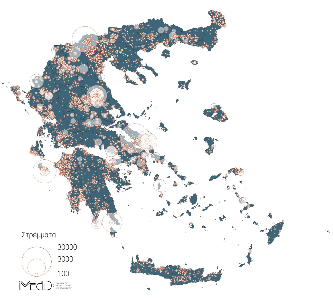
How we geolocated and mapped 9500 forest and agricultural fires that broke out in 2019.
A dataset with fires that broke out across Greece in 2019
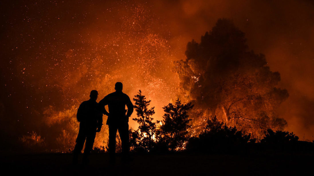
Forest fires recorded last year by the fire service, along with longitude and latitude coordinates per incident.

