Balkans: slow Internet and unspent cohesion funds
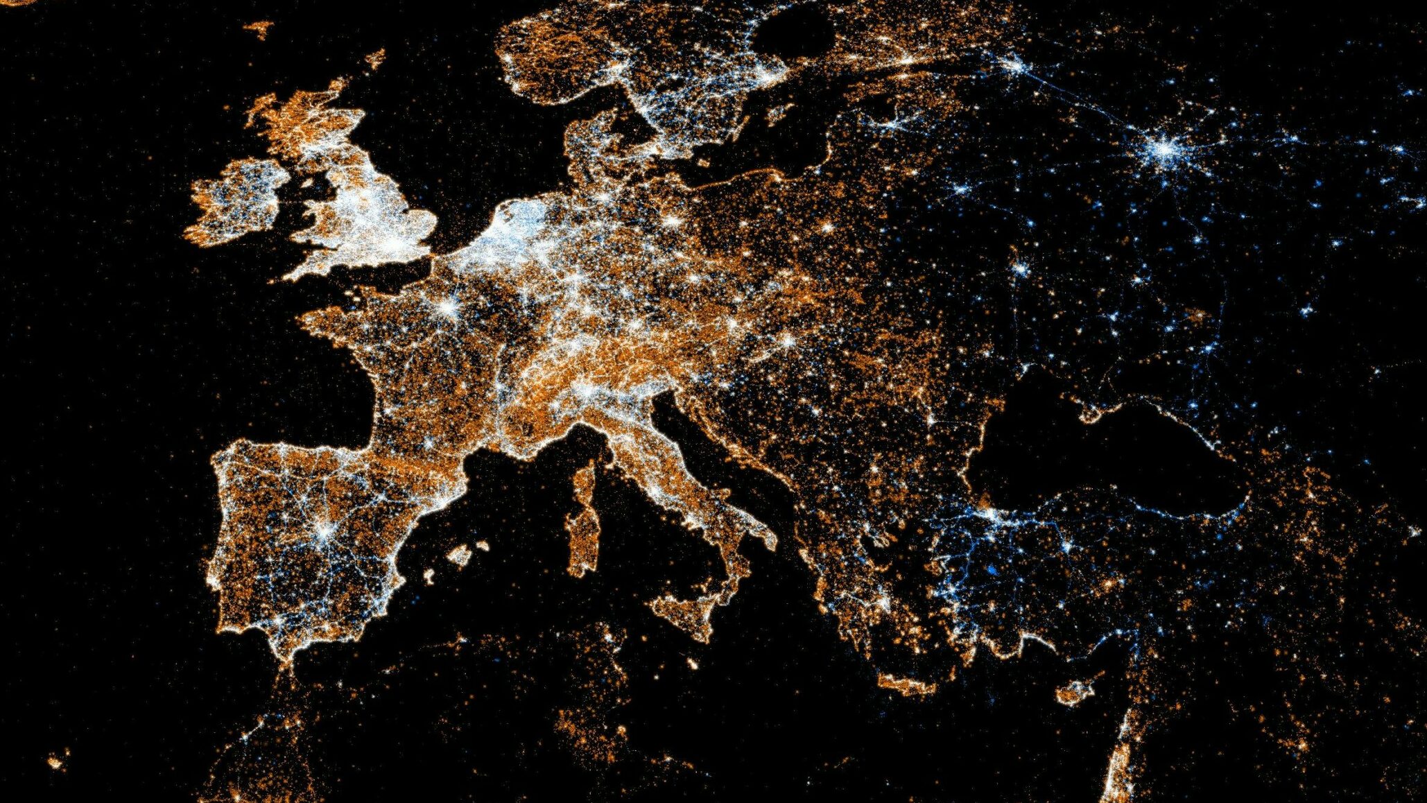
The Balkan countries are struggling to keep up with the rest of Europe in terms of Internet connection speed.
Data on liquid fuel prices in Greece
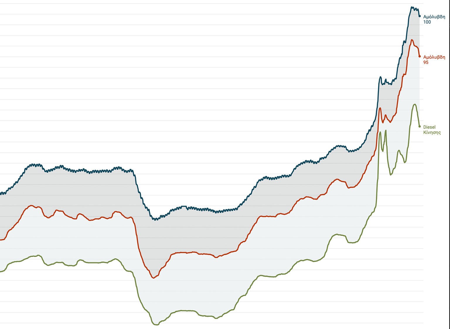
We have converted data on liquid fuel prices in Greece available in the daily bulletins in .pdf format published by the Fuel Retail Price Observatory onto open, machine-readable datasets.
The datasets that describe what happened during the pandemic in the Greek and European prisons
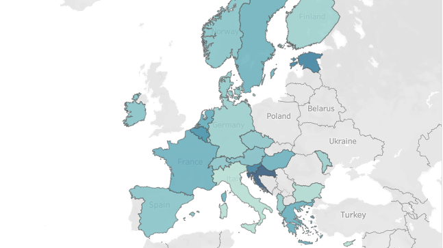
We share data about the pandemic in Greek and European prisons.
Prisons remained unprotected during the 4th wave of the pandemic

Measures to limit the transmission of coronavirus in Greek prisons did not work, resulting in a 1.4 times higher spread compared to the general population.
ECDC Map: Why we don’t know for sure whether the green areas are actually “green”
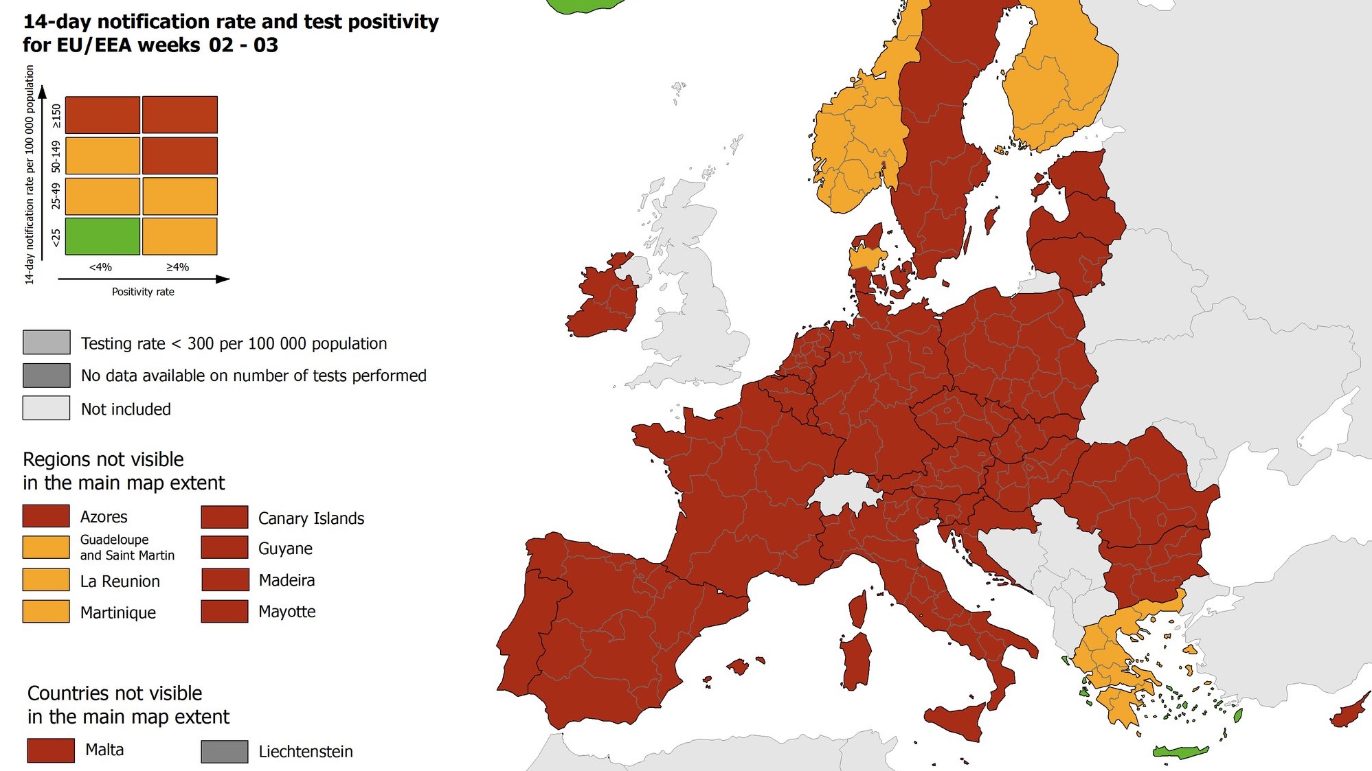
A step–by–step explanation of how to read the ECDC map, and which are the reasons why even if the Greek islands visualized as green are actually “green”, we don’t really know it for sure.
A dataset with rapid tests carried out in Greece
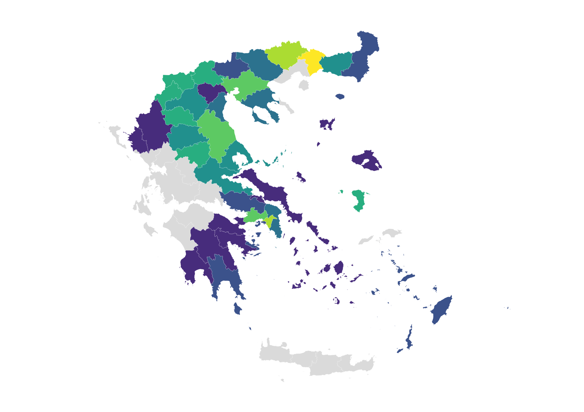
Data for more than 114,500 samples taken since September 25 in 213 regions of the country.
Open data on coronavirus in Greece
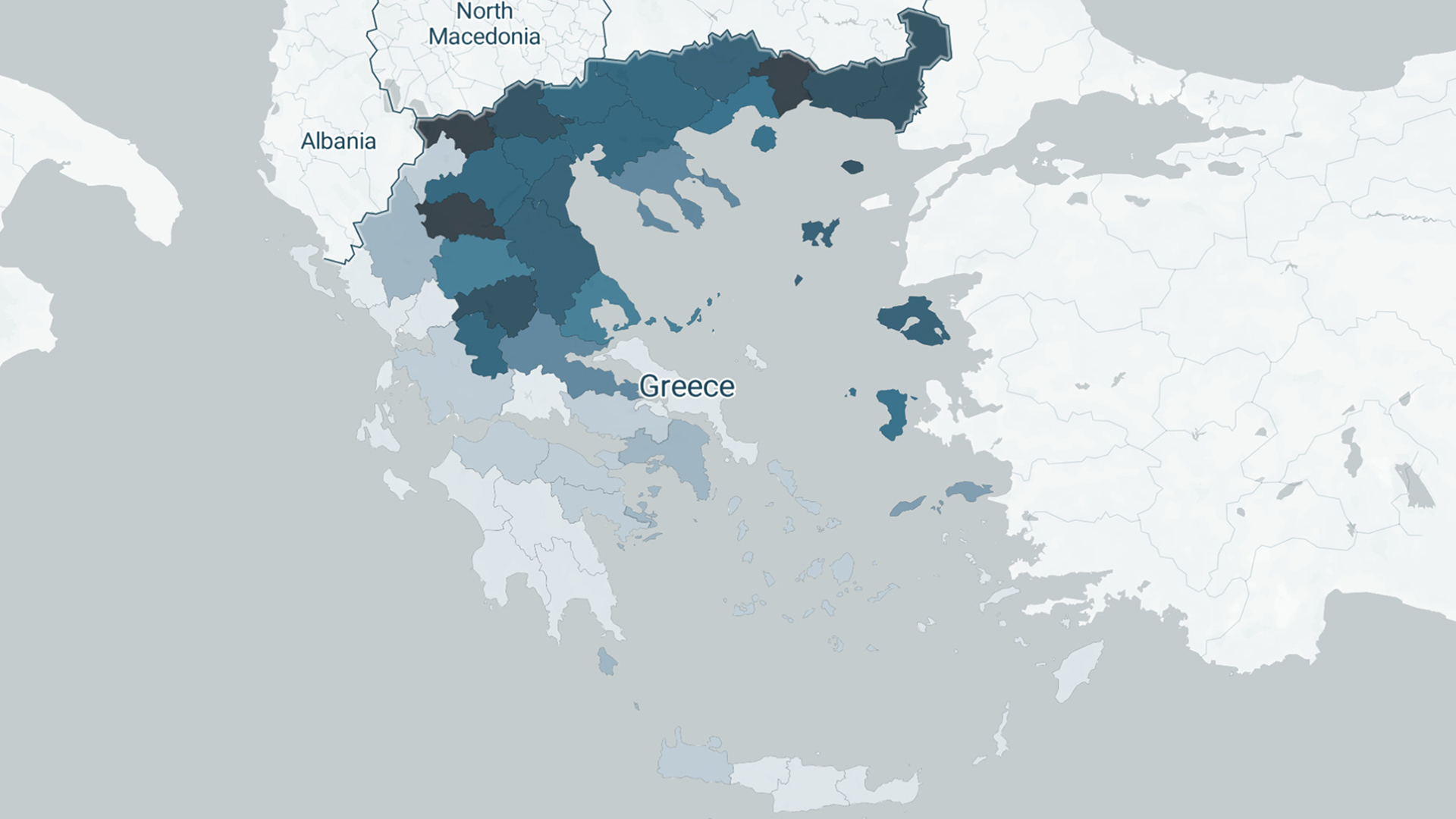
We gathered published data on the course of the infectious disease in our country from every available source and structured open datasets, which are freely available to journalists and researchers.


