Monitoring drought in Greece
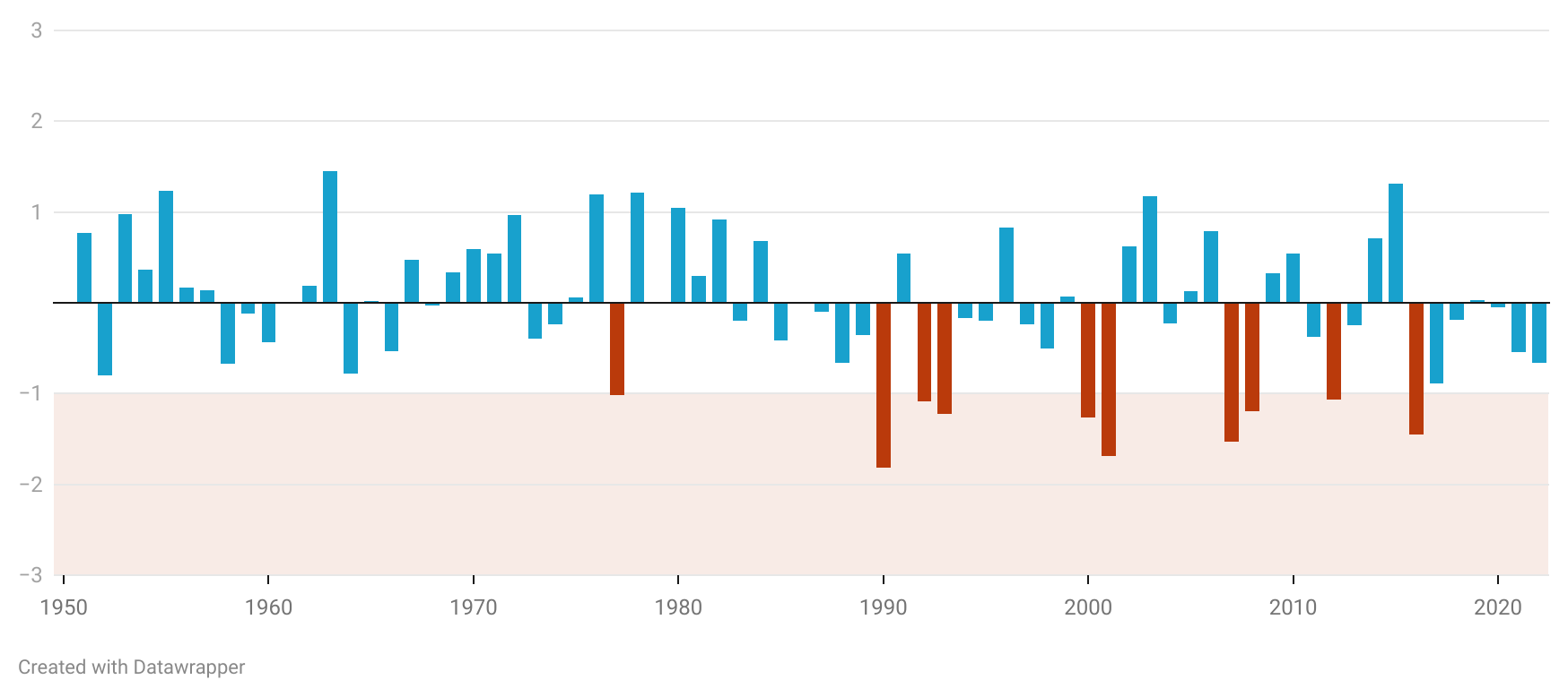
The Working Methodology for Observing the Drought Phenomenon in Greece
Detecting polarization in the pre-election political discourse in Greece

Differentiating competition, division and polarisation in political discourse.
How we analyze the campaign speeches of political leaders

The working methodology for analyzing campaign speeches in the project -from data collection to data analysis.
Populism in pre-election political discourse in Greece

Populism is not equivalent to politicians' falsehoods, promises, or deceitfulness. It is not synonymous with demagoguery, propaganda, or manipulation.
The undeclared war on Women in Europe: The data analysis methodology

The story reports on the issue of femicides and violence against women in 28 European countries from 2010 to 2021.
The messy data sources behind the “Mapping diversity” project
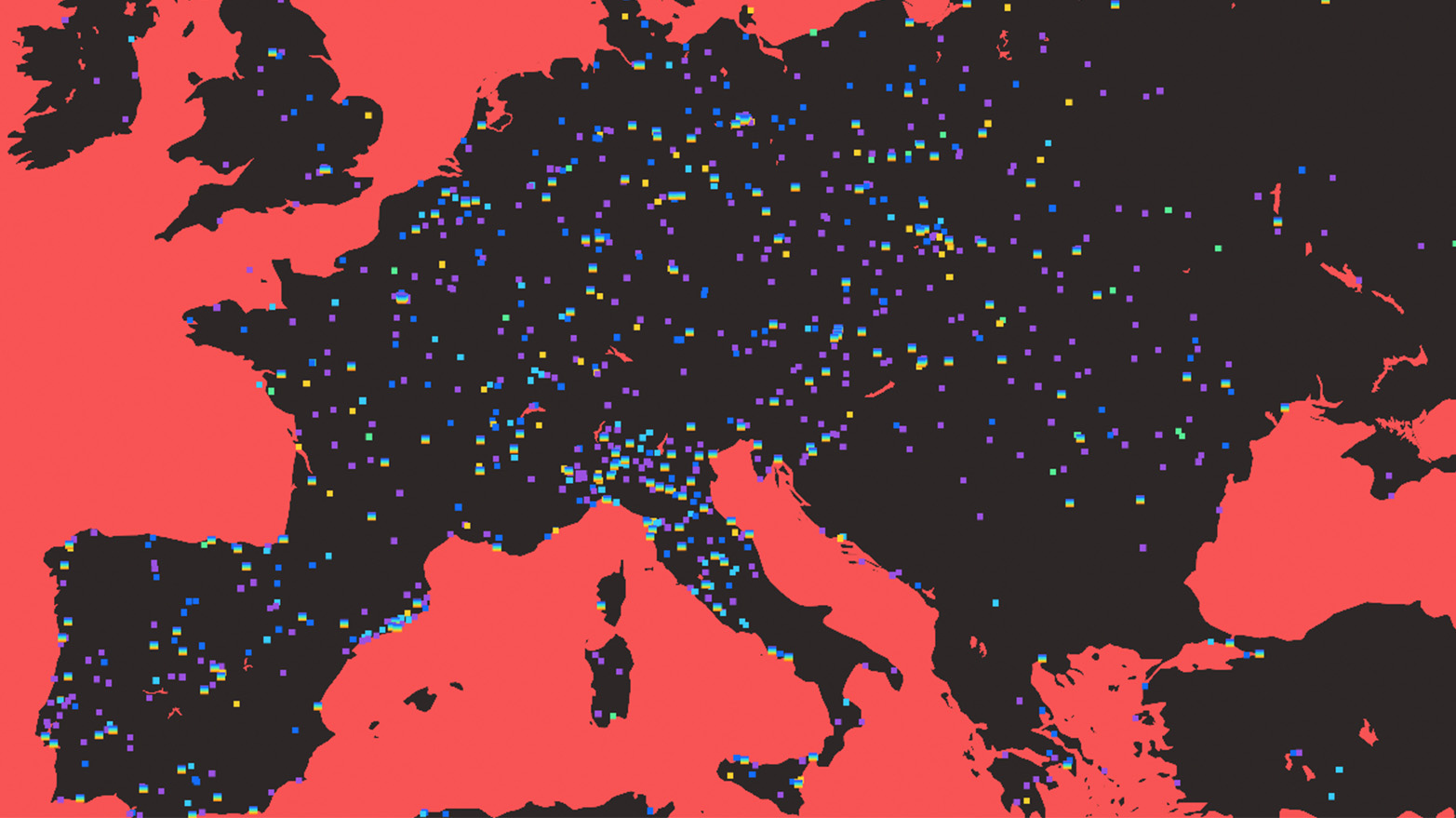
The methodology followed regarding the sources, the data collection and the data processing as part of the EDJNet's "Mapping Diversity" project.
Top 10 insights from the 2022 State of Data Journalism Survey

The top 10 insights from the newest annual Survey for the State of Data Journalism across the globe.
How we analyzed nine months of conversation about the Greek wiretapping scandal on Twitter

The working methodology as part of the research collaboration presented by iMEdD Lab and Datalab, on the analysis of the conversation about the wiretapping case on Twitter.
