Decades of climate records with a few lines of code: Analyzing Copernicus data
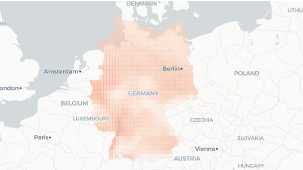
Climate data often come up in the newscycle during major weather events. Copernicus data can be analyzed using a few lines of Python code, without installing software or downloading files to your computer.
Retrieving and processing OpenStreetMap data
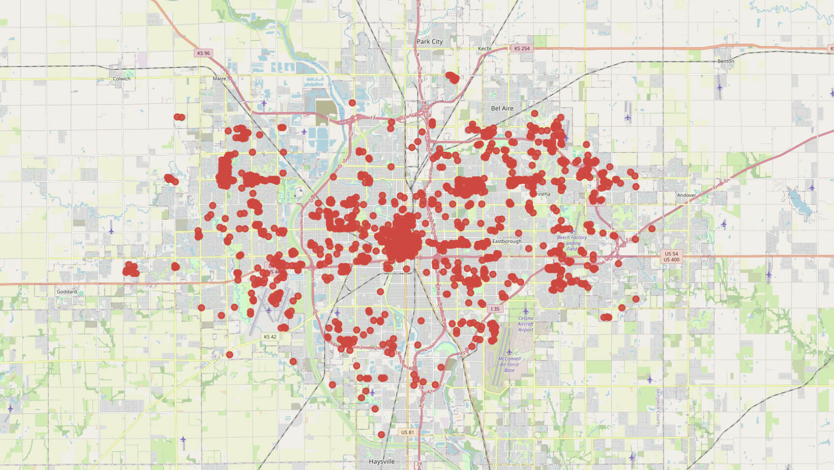
OpenStreetMap (OSM) data is a "treasure trove" hiding in plain sight for any journalistic mapping project. We present how one can retrieve and process OpenStreetMap data using Python or QGIS.
How to get “live” data in Google Sheets for free and with just a few lines of code

With Google Apps Script and a little vibecoding, we build a small data-collection pipeline in a cloud-based spreadsheet that runs without our intervention.
Guide to mapping analysis using QGIS

A detailed guide in using QGIS, from downloading to analysing data.
How to automatically create dozens of charts using the Datawrapper API

We’ve created dozens of charts that update automatically every day without any intervention on our end, thanks to a few lines of Python code and the Datawrapper API.
A + Ω: A platform for making predictions and performing data correlations using algorithms

A new data analysis tool that offers users ready-to-use analysis “recipes” (algorithms) helping them to make predictions and correlations.
Workbench: Data analysis platform in Greek

The workbench platform was launched by Columbia University, New York. With the support of iMEdD and in collaboration with the Laboratory of New Technologies of the National and Kapodistrian University of Athens, the platform has now been introduced to Greece.
Mapping with QGIS: Part 4/4




ALSO VISIT